
Best walks near Nottingham: ‘Stunning’ route takes in abandoned railway line and historic colliery

With spring just a couple of weeks away, it’s the perfect time to try this four-mile walk!
If you’re usually one for spending time outdoors, the winter months are always a slog.

The miserable weather and short days during winter certainly aren’t conducive to outdoor activities, but thankfully we’re now emerging out the other side.
With the start of meteorological spring (March 1) just a few days away, we can now start looking forward to warmer, longer days.
Read more: Your Nottingham
As spring arrives, many of us will be planning on making the most of the better weather by walking more.
It’s generally considered that healthy adults should be taking around 10,000 steps a day, which is more than achievable by making time for a brisk stroll.
Here in Nottinghamshire, we’re lucky to have so many fantastic places to walk, with hundreds of miles of countryside right on our doorstep.
Thankfully there are dozens of designated routes in the county and many of them take in historic sites, so you can keep fit and visit interesting places at the same time!
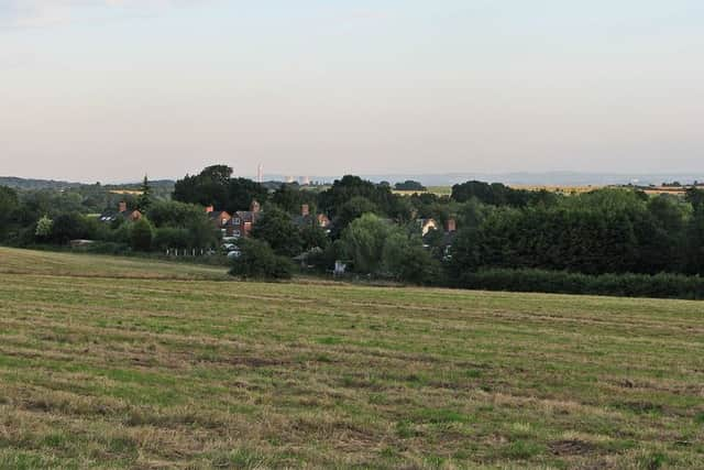
One such route, named ‘On the Right Track’, takes you through the countryside to the north-east of Nottingham, encircling the tiny hamlet of Babbington.
In the 1860s there were nine coal mines in this area alone, with the Babbington Colliery opening in 1841. The colliery had a long life and didn’t close until 1986.
This walk around the area takes you right along the old railway line which once served the local pits. Eagle-eyed ramblers might spot one or two clues as to the area’s former use.
Scroll down for a step-by-step description of the whole route, or press here for the map.
1. Start at Knowle Lane
The walk starts at the corner of Knowle Lane, by the White Lion pub.
After passing Babbington Lane on the right, follow the road which becomes a surfaced track as it bends first right then left, now running between fields with a transmitter mast away to your left. Soon, the track splits into three, with our route continuing straight ahead. Follow this well-defined track as it runs ahead between fields. At the end of the first field follow the path ahead that runs between the power lines. Cross another track, following a field edge path to eventually meet the M1 motorway. At this point the track turns left to reach a bridge over the motorway (horse riders are advised to dismount for the crossing).
2. Cross the bridge over the motorway
Cross the bridge over the motorway and follow this track as it bends to the right and soon becomes a tarmac road at Strelley.
Ride alongside this quiet road, with the complex of buildings at Strelley Hall becoming visible to your left. After a short distance, a gateway on the right with a small car park and bridleway signpost indicates our route out of Strelley. Before leaving the village it is well worth the short detour ahead to take in the church and other old buildings in this Conservation Area.
3. Pass through the gate
When ready to leave Strelley, pass through the gateway and follow the track ahead as it passes over the M1 motorway on a bridge (beware of cars here as the track is used to access some fishing lakes). Having crossed the bridge, follow the track ahead and you soon reach a gateway on the left with a Woodland Trust sign. The path leads the way to Oldmoor Wood (access on foot only). If you wish to visit the wood, return to this point to pick up the route (and your bike or horse!) again. Our route continues ahead along this track.
When the track is crossed by the driveway to a house, the path continues ahead but narrows as it drops downhill with an open grassy field to the left. It soon emerges on a wider surfaced road.
4. Head for the tree-lined track
Follow this road to the right, ignoring the farm access track immediately to your right. After a short while the road turns left but our route continues ahead on a gravelled, tree-lined track.
After half a mile this track reaches a junction, with the red brick Strelley Park Farm ahead. Turn left and follow this double-hedged track as it drops gently downhill for half a mile. The track then bends to the right and climbs up a short rise to emerge on a sharp bend in a narrow lane. Follow this lane to the right as it heads towards the hamlet of Babbington and after a quarter of a mile a track forks off to the left.
5. Pass the farmhouse to return home
Take this left fork and keep on this track as it passes a farmhouse, then begins to climb uphill. At the top of the hill, with a barn on your left, turn right along the track as it runs along the contour of the valley. Keep following this track as it passes some houses then becomes a tarmac road (Babbington Lane). Pass the large Water Tower and at the end of the road, turn left to reach the start point of our route.