
Nottingham named one of the UK’s top 10 cities for infrastructure and connectivity
Anyone who’s spent half their morning stuck behind roadworks, waiting on a late train or trekking across town just to reach a bus stop will know how quickly poor infrastructure can turn everyday life into a slog. While some UK areas make getting around feel relatively seamless, others are still battling ageing roads, patchy transport links and long travel times that add up day after day.
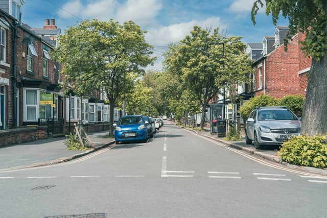

New research by Councilclaims.co.uk has revealed the UK areas with the strongest overall infrastructure, looking at everything from bus stop accessibility and rail usage to road quality, bridge conditions and travel times. The study analysed 45 local authorities using data from sources including the Department for Transport, Office of Rail and Road and RAC Foundation.
Metrics included bus stop proximity, cycleways per capita, train entries and exits per resident, the proportion of roads in good condition, infrastructure spending per road kilometre, bridge conditions, and average car and walking distances to key places.
Nottingham ranks 6th overall in this study, and its position is mainly driven by very strong public transport access and standout cycling infrastructure, even though some of its other indicators are more mixed.
A key strength is accessibility. Nottingham records 100% bus stop proximity, meaning every resident is within reach of a bus stop according to the dataset. That places it at the very top end for basic public transport coverage and makes day-to-day travel relatively straightforward across the city.
Cycling infrastructure is another major advantage. Nottingham records 6.15 cycleways per capita, the highest level among the top-ranking cities, suggesting a strong push towards active travel compared with most other authorities in the study.
However, the city is more uneven when it comes to wider transport performance. Rail usage is relatively low at 8.14 train entries and exits per capita, which is significantly below many of the other top 10 areas such as Leicester or Portsmouth. Road quality is also mid-table, with 50% of roads classed as being in good condition, meaning there is still clear room for improvement in highway maintenance.
Despite that, Nottingham benefits from strong structural performance in parts of its network, including relatively short average travel distances, with 8.9 minutes by car and 18.3 minutes on foot to key destinations. This suggests a fairly compact urban form where many essential services are reasonably accessible.
Compared with Southend-on-Sea, Nottingham is stronger on cycling infrastructure but weaker on overall consistency and bridge condition. Against Manchester, it has better cycle provision but lower road quality and significantly less rail activity, which pulls its overall ranking slightly lower despite excellent bus coverage.
Nicholas Tate, spokesperson for Councilclaims.co.uk, said:
“Infrastructure is one of those things people only really notice when it starts going wrong. Whether it’s potholes damaging cars, poor public transport links or long travel times, weak infrastructure has a knock-on effect on people’s daily lives and local economies.”
“Good infrastructure does far more than simply help people get around. It affects how quickly emergency services can respond, how easily businesses can operate, how connected communities feel and even how attractive an area becomes for investment. When roads, transport links and public infrastructure are properly maintained, the benefits ripple through almost every part of daily life.”
Top 10 UK areas for infrastructure (roads, transport and connectivity)
1 Southend-on-Sea
2 Manchester
3 Leicester
4 Southampton
5 Portsmouth
6 Nottingham
7 Kingston upon Hull
8 Plymouth
9 Derby
10 Milton Keynes