
Wollaton Hall's winter wonderland: Stunning snow photos as new Met Office warning issued

The Met Office has issued a new yellow warning for snow and ice in place from midnight until noon on Monday for some parts of the country.
The warning covers parts of Nottinghamshire and the East Midlands.
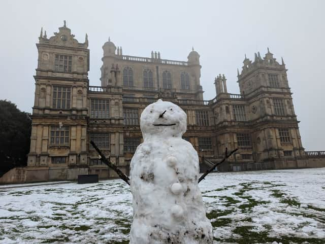
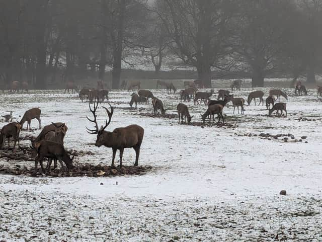
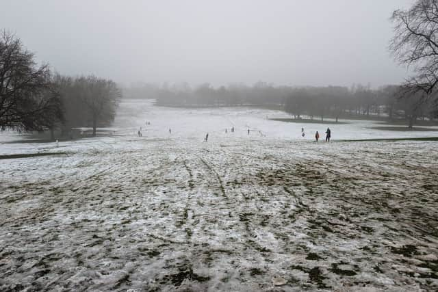
It comes after some areas woke up to snowfall on Sunday, including those who enjoyed a wintery day out at Wollaton Hall and Park.

A Met Office forecast said: “Snow will become more sporadic during Monday morning, though some further accumulations of a few centimetres are likely over the Pennines and perhaps the North York Moors.
“Icy stretches are likely to develop quite widely, making for some difficult travelling conditions.”
Heavy overnight snow caused UK airports to close to clear snow from the runways.
Met Office outlook:
Monday: Rain, sleet and snow slowly clearing away east. Remaining cold behind this with scattered wintry showers. Windy, especially near coasts. Maximum temperature 3 °C.
Outlook for Tuesday to Thursday: Remaining cold but mostly dry with sunny spells through this period. Scattered wintry showers at times. Possibly cloudier with a spell of snow in the south Wednesday. Breezy at times.