
Exactly how many inches of snow Storm Goretti could dump on Nottinghamshire as Met Office issues warning

The storm is forecast to dump several inches of snow on Nottinghamshire
Nottinghamshire residents are being told to be prepared for “heavy” snow later this week amid the arrival of Storm Goretti.
Forecasters are warning that the storm could dump several inches of snow on parts of central England, including the East Midlands.
The region is currently under a yellow Met Office warning for snow, which will be in force between 6pm on Thursday (January 8) and 12pm on Friday (January 9).
Snow is expected to sweep across central England late on Thursday and into the early hours of Friday, with the Met Office warning of widespread travel disruption and power cuts in some areas.
The forecaster has also warned that some rural communities could be “cut off”.
This system has been named by Meteo France - the French equivalent of the Met Office - as the strongest winds associated with the storm are likely to be over northern France.
How many inches of snow could Storm Goretti dump on Nottinghamshire?
Current forecasts suggest that the Midlands will bear the brunt of Storm Goretti in terms of snow, while southern areas are most likely to experience heavy rain.
Uncertainty remains surrounding the track that the storm will take across central England.
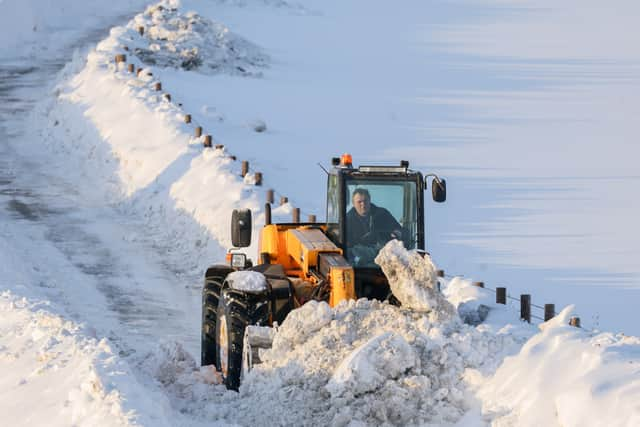

Some models anticipate that the heaviest snow will fall in Nottinghamshire and Lincolnshire, while others expect the storm to track slightly more north towards South Yorkshire.
At the time of writing, WX Charts - which uses Met Desk data to create detailed forecast maps - indicates heavy snow in Nottinghamshire between 6pm on Thursday and 2am on Friday.
During this eight-hour window, up to 1.5 inches (3.81cm) inches of snow per hour could fall in Nottinghamshire.
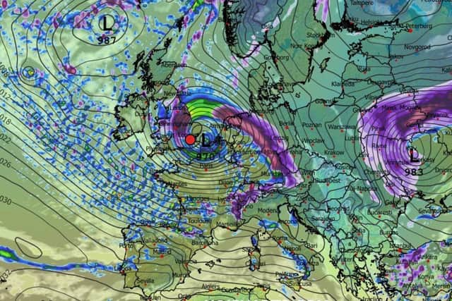
If this rate of snowfall transpires, residents could wake up to 12 inches (30.48cm) of snow on Friday morning.
It’s worth noting that more detailed weather models will become available in the hours leading up to Thursday evening